


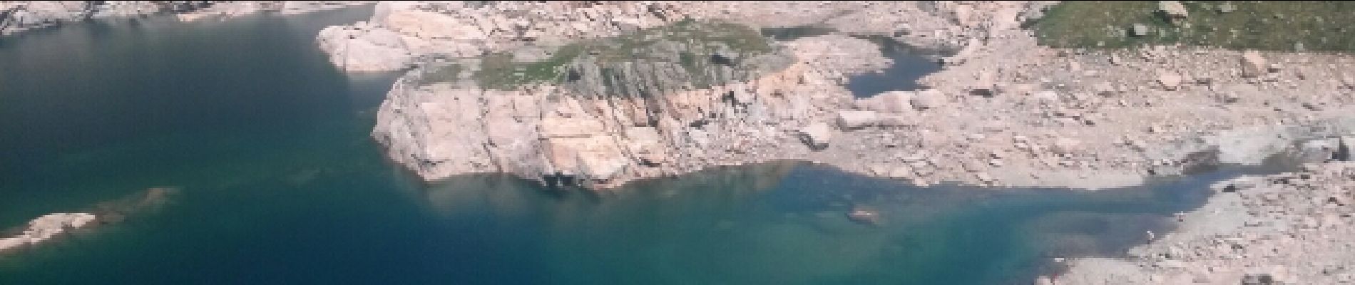
estany de jugla

F_Fred
User
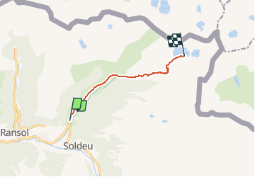

Length
6.8 km

Max alt
2333 m

Uphill gradient
588 m
Km-Effort
12.8 km

Min alt
1762 m

Downhill gradient
18 m
Boucle
No
Creation date :
2016-07-28 00:00:00.0
Updated on :
2016-07-28 00:00:00.0
2h06
Difficulty : Unknown

FREE GPS app for hiking
 SityTrail
IGN / Geographical institutes
SityTrail Plus
The world is yours!
About
Trail Walking of 6.8 km to be discovered at Andorra. This trail is proposed by F_Fred.
Photos


Positioning
Country:
Andorra
Region :
Unknown
Department/Province :
Unknown
Municipality :
Unknown
Location:
Unknown
Start:(Dec)
Start:(UTM)
390430 ; 4715696 (31T) N.
Comments