


c5

myjackotte
User
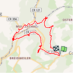

Length
11.5 km

Max alt
349 m

Uphill gradient
335 m
Km-Effort
15.9 km

Min alt
211 m

Downhill gradient
328 m
Boucle
Yes
Creation date :
2016-07-29 00:00:00.0
Updated on :
2016-07-29 00:00:00.0
4h13
Difficulty : Unknown

FREE GPS app for hiking
 SityTrail
IGN / Geographical institutes
SityTrail Plus
The world is yours!
About
Trail Walking of 11.5 km to be discovered at Unknown, Canton Echternach, Consdorf. This trail is proposed by myjackotte.
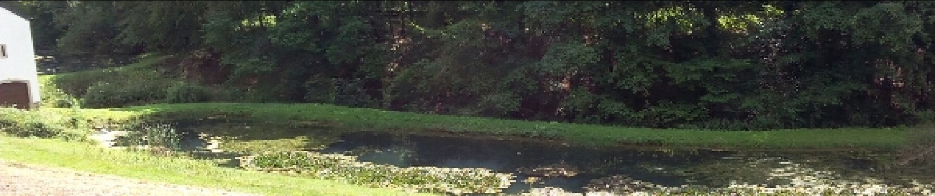
Photos


Positioning
Country:
Luxembourg
Region :
Unknown
Department/Province :
Canton Echternach
Municipality :
Consdorf
Location:
Unknown
Start:(Dec)
Start:(UTM)
307606 ; 5517474 (32U) N.
Comments