


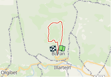

11.7 km | 21 km-effort


User


FREE GPS app for hiking
 SityTrail
IGN / Geographical institutes
SityTrail World
The world is yours!
Trail Mountain bike of 4.5 km to be discovered at Occitania, Ariège, Buzan. This trail is proposed by alphathan.
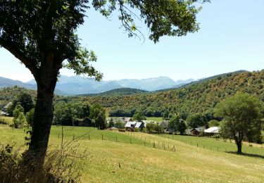
Agréable ballade de 1h30 à Buzan avec joli point de vue. 200m à monter
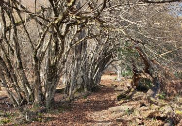
Walking

Walking
Walking

Equestrian
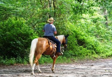
Equestrian

Mountain bike

Walking
Walking
Walking