


Camp Picotte retour

norbertmarteau
User

Length
180 km

Max alt
1248 m

Uphill gradient
8728 m
Km-Effort
297 km

Min alt
342 m

Downhill gradient
9142 m
Boucle
No
Creation date :
2016-08-07 00:00:00.0
Updated on :
2016-08-07 00:00:00.0
4h56
Difficulty : Medium

FREE GPS app for hiking
 SityTrail
IGN / Geographical institutes
SityTrail Plus
The world is yours!
About
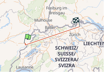
Trail Walking of 180 km to be discovered at Bourgogne-Franche-Comté, Doubs, Consolation-Maisonnettes. This trail is proposed by norbertmarteau.
Positioning
Country:
France
Region :
Bourgogne-Franche-Comté
Department/Province :
Doubs
Municipality :
Consolation-Maisonnettes
Location:
Unknown
Start:(Dec)
Start:(UTM)
318865 ; 5224293 (32T) N.
Comments