


Saint Calixte

zazibelle
User
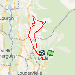

Length
7.4 km

Max alt
1365 m

Uphill gradient
315 m
Km-Effort
11.6 km

Min alt
1128 m

Downhill gradient
316 m
Boucle
Yes
Creation date :
2016-08-10 00:00:00.0
Updated on :
2016-08-10 00:00:00.0
2h35
Difficulty : Easy

FREE GPS app for hiking
 SityTrail
IGN / Geographical institutes
SityTrail Plus
The world is yours!
About
Trail Walking of 7.4 km to be discovered at Occitania, Hautespyrenees, Mont. This trail is proposed by zazibelle.
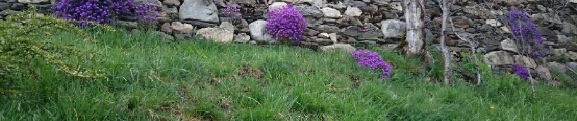
Photos


28 photos in total. Please click on a photo to see them all in the gallery.
Positioning
Country:
France
Region :
Occitania
Department/Province :
Hautespyrenees
Municipality :
Mont
Location:
Unknown
Start:(Dec)
Start:(UTM)
289914 ; 4743575 (31T) N.
Comments