


25 le val d'arré

fitz2014
User


Length
14.3 km

Max alt
152 m

Uphill gradient
184 m
Km-Effort
16.8 km

Min alt
79 m

Downhill gradient
184 m
Boucle
Yes
Creation date :
2016-08-12 00:00:00.0
Updated on :
2016-08-12 00:00:00.0
3h39
Difficulty : Medium

FREE GPS app for hiking
 SityTrail
IGN / Geographical institutes
SityTrail Plus
The world is yours!
About
Trail Walking of 14.3 km to be discovered at Hauts-de-France, Oise, Saint-Just-en-Chaussée. This trail is proposed by fitz2014.
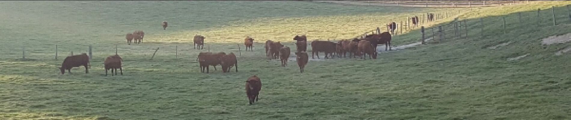
Photos


Positioning
Country:
France
Region :
Hauts-de-France
Department/Province :
Oise
Municipality :
Saint-Just-en-Chaussée
Location:
Unknown
Start:(Dec)
Start:(UTM)
459173 ; 5483810 (31U) N.
Comments