


Vanosc

ajd26
User
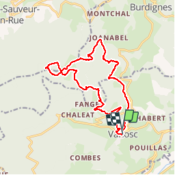

Length
17.3 km

Max alt
1334 m

Uphill gradient
729 m
Km-Effort
27 km

Min alt
647 m

Downhill gradient
744 m
Boucle
Yes
Creation date :
2019-05-19 18:04:10.551
Updated on :
2019-05-19 18:04:11.86
5h46
Difficulty : Easy

FREE GPS app for hiking
 SityTrail
IGN / Geographical institutes
SityTrail Plus
The world is yours!
About
Trail Walking of 17.3 km to be discovered at Auvergne-Rhône-Alpes, Ardèche, Vanosc. This trail is proposed by ajd26.
Description
Départ devant l'église
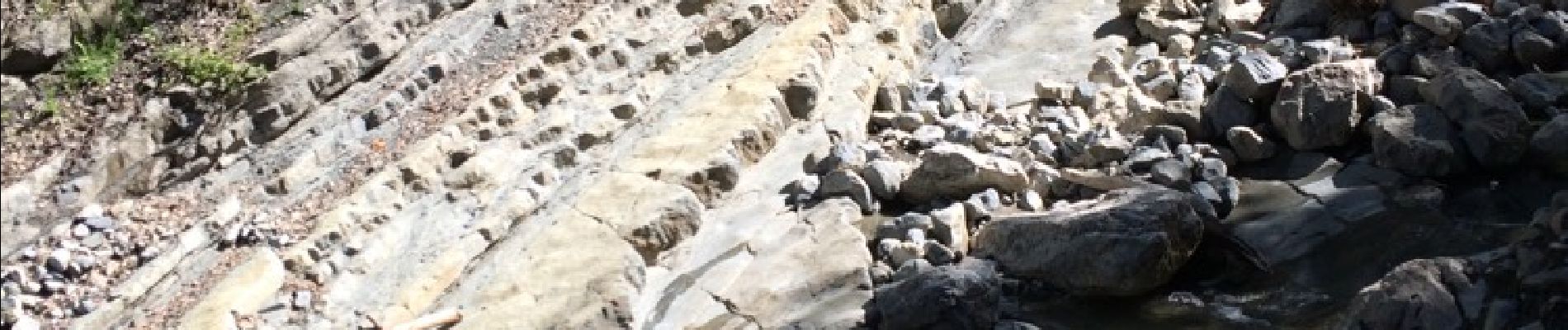
Photos


Positioning
Country:
France
Region :
Auvergne-Rhône-Alpes
Department/Province :
Ardèche
Municipality :
Vanosc
Location:
Unknown
Start:(Dec)
Start:(UTM)
621669 ; 5009163 (31T) N.
Comments