


Col du Lac

ARVIEU
User

Length
112 km

Max alt
663 m

Uphill gradient
2067 m
Km-Effort
139 km

Min alt
101 m

Downhill gradient
2059 m
Boucle
No
Creation date :
2017-05-21 00:00:00.0
Updated on :
2017-05-21 00:00:00.0
5h00
Difficulty : Medium

FREE GPS app for hiking
 SityTrail
IGN / Geographical institutes
SityTrail Plus
The world is yours!
About
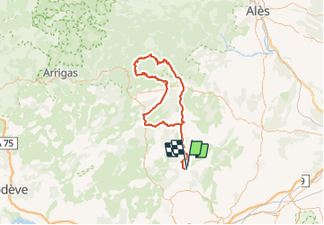
Trail Cycle of 112 km to be discovered at Occitania, Hérault, Saint-Mathieu-de-Tréviers. This trail is proposed by ARVIEU.
Positioning
Country:
France
Region :
Occitania
Department/Province :
Hérault
Municipality :
Saint-Mathieu-de-Tréviers
Location:
Unknown
Start:(Dec)
Start:(UTM)
569982 ; 4847175 (31T) N.
Comments