Le LAMPY

Jean-Phi81
User

Length
12 km

Max alt
752 m

Uphill gradient
263 m
Km-Effort
15.5 km

Min alt
636 m

Downhill gradient
264 m
Boucle
Yes
Creation date :
2016-08-19 00:00:00.0
Updated on :
2016-08-19 00:00:00.0
3h19
Difficulty : Easy

FREE GPS app for hiking
 SityTrail
IGN / Geographical institutes
SityTrail Plus
The world is yours!
About
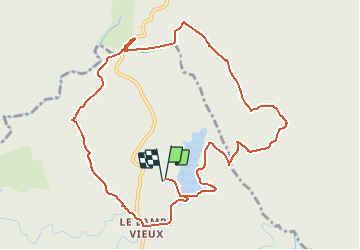
Trail Walking of 12 km to be discovered at Occitania, Aude, Saissac. This trail is proposed by Jean-Phi81.
Positioning
Country:
France
Region :
Occitania
Department/Province :
Aude
Municipality :
Saissac
Location:
Unknown
Start:(Dec)
Start:(UTM)
432688 ; 4805531 (31T) N.
Comments