Trail Walking Saint-Flour-l'Étang - 
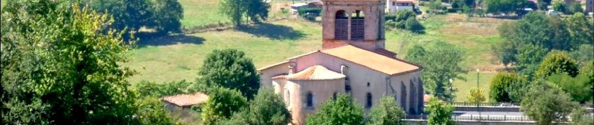
St_Flour_Etang_Isle_Dore - Photo
 jagarnier
jagarnier

User GUIDE

© OpenStreetMap contributors
Length
Length
10.3 km
Max alt
Max alt
557 m
Uphill gradient
Uphill gradient
320 m
Km-Effort
Km-Effort  
14.5 km
Min alt
Min alt
344 m
Downhill gradient
Downhill gradient
316 m
Boucle
Boucle
Yes
Creation date :
2016-09-09 00:00:00.0
Updated on :
2024-03-23 08:47:32.538

(0 Reviews)

Walking
Walking
3h00
Difficulty : Medium

Scan this QR Code to open this trail in the SityTrail application

FREE GPS app for hiking

Logo SityTrail SityTrail

IGN / Geographical institutes

Download SityTrail from the App Store Download SityTrail from Google Play

Logo SityTrail SityTrail Plus

The world is yours!

Download SityTrail from the App Store Download SityTrail from Google Play Download SityTrail on Huawei AppGallery

About

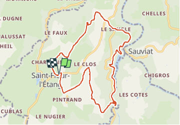
Trail Walking of 10.3 km to be discovered at Auvergne-Rhône-Alpes, Puy-de-Dôme, Saint-Flour-l'Étang. This trail is proposed by jagarnier.

Description

Ce circuit vous offre des vues magnifiques sur la chaine des Puys, le massif du Sancy et les Monts du Forez. Vous découvrirez le barrage de Sauviat et longerez le ruisseau du Miodet.

Elevation profile

Photos

Positioning

Country:
France
Region :
Auvergne-Rhône-Alpes
Department/Province :
Puy-de-Dôme
Municipality :
Saint-Flour-l'Étang
Location:
Unknown
Start:(UTM)
539356 ; 5061919 (31T) N.


Close
My subscriptions