


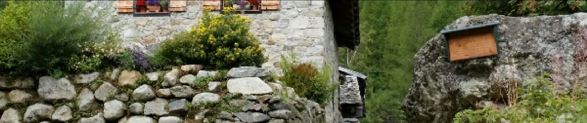
CHAMONIX (Cascade de Bérard)

GerardBouche
User
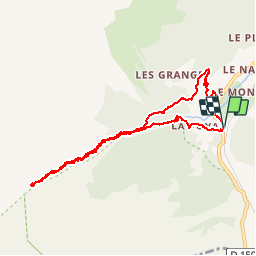


3h17
Difficulty : Easy

FREE GPS app for hiking
 SityTrail
IGN / Geographical institutes
SityTrail Plus
The world is yours!
About
Trail Walking of 9.2 km to be discovered at Auvergne-Rhône-Alpes, Upper Savoy, Vallorcine. This trail is proposed by GerardBouche.
Description
Superbe parcours au départ de "Le BUET" (commune de Vallorcine) vers la cascade de Bérard et la réserve naturelle classée en 1992 en direction du refuge de la "Pierre à Bérard". Le retour par les alpages "Sur le Rocher".
Photos
 - Photo 1")
 - Photo 2")
 - Photo 3")
 - Photo 4")
 - Photo 5")
 - Photo 6")
 - Photo 7")
 - Photo 8")
Positioning
Comments