


Pontgibaud_Cheire

jagarnier
User GUIDE
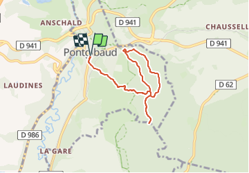


2h15
Difficulty : Easy

FREE GPS app for hiking
 SityTrail
IGN / Geographical institutes
SityTrail Plus
The world is yours!
About
Trail Walking of 7.2 km to be discovered at Auvergne-Rhône-Alpes, Puy-de-Dôme, Pontgibaud. This trail is proposed by jagarnier.
Description
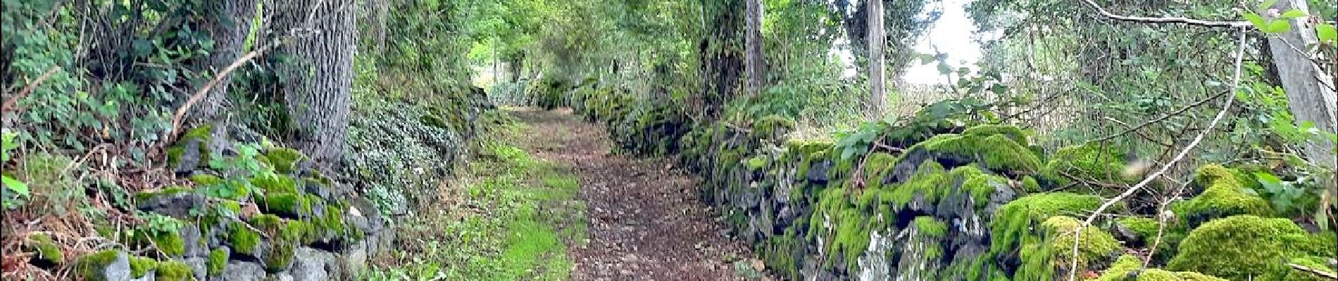
Depuis Pontgibaud et le bel ensemble architectural médiéval de château Dauphin, on parcourt les paysages mystérieux de la cheire de Pontgibaud, l’une des plus belles coulées de lave de la chaîne des Puys.
Photos

Positioning
Comments