


Rome-32-Peyruis-Aubignosc-20160911

patrickdanilo
User
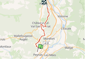

Length
18.5 km

Max alt
657 m

Uphill gradient
495 m
Km-Effort
25 km

Min alt
447 m

Downhill gradient
482 m
Boucle
No
Creation date :
2018-02-15 00:00:00.0
Updated on :
2022-11-16 14:49:35.743
5h11
Difficulty : Medium

FREE GPS app for hiking
 SityTrail
IGN / Geographical institutes
SityTrail Plus
The world is yours!
About
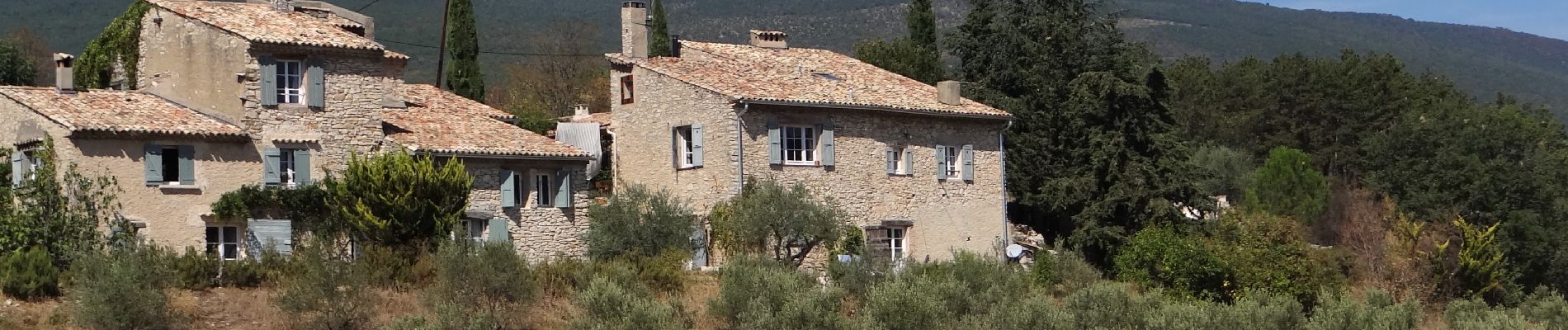
Trail Walking of 18.5 km to be discovered at Provence-Alpes-Côte d'Azur, Alpes-de-Haute-Provence, Peyruis. This trail is proposed by patrickdanilo.
Description
ALTA-12-N°0311F32-GR653D
Photos


Positioning
Country:
France
Region :
Provence-Alpes-Côte d'Azur
Department/Province :
Alpes-de-Haute-Provence
Municipality :
Peyruis
Location:
Unknown
Start:(Dec)
Start:(UTM)
735514 ; 4880112 (31T) N.
Comments