


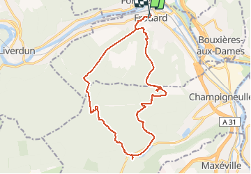


18.7 km | 24 km-effort


User


FREE GPS app for hiking
 SityTrail
IGN / Geographical institutes
SityTrail World
The world is yours!
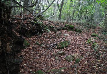
Trail Walking of 18 km to be discovered at Grand Est, Meurthe-et-Moselle, Frouard. This trail is proposed by webmammuth.
Balade au départ de Frouard sur le plateau de Haye. Il y a quelques erreurs et quelques errances. Éviter d'aller derrière la station de pompage, au rendez vous du gascon et dans le fort. Pour le reste, c'est ok.. ??


On foot

On foot
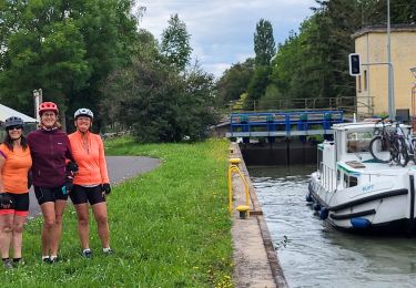
Bicycle tourism
On foot

On foot
On foot
On foot
On foot

On foot