


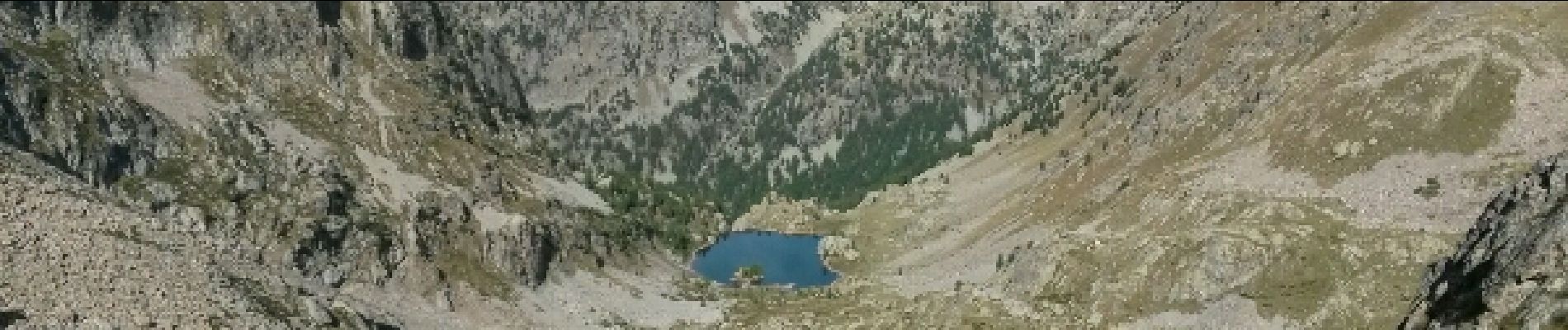
L'Agnelière Pas des Ladres Col et Lac de Fenestre

GrouGary
User
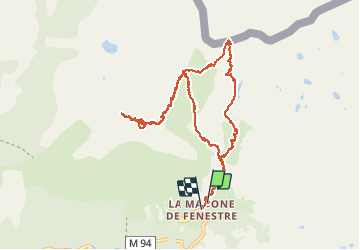

Length
12.4 km

Max alt
2676 m

Uphill gradient
847 m
Km-Effort
24 km

Min alt
1900 m

Downhill gradient
881 m
Boucle
Yes
Creation date :
2016-09-18 00:00:00.0
Updated on :
2016-09-18 00:00:00.0
4h44
Difficulty : Medium

FREE GPS app for hiking
 SityTrail
IGN / Geographical institutes
SityTrail Plus
The world is yours!
About
Trail Walking of 12.4 km to be discovered at Provence-Alpes-Côte d'Azur, Maritime Alps, Saint-Martin-Vésubie. This trail is proposed by GrouGary.
Description
Bon balisage. Le sommet de L'Agnellière rocheux est balisé par des cairns.
Photos

Positioning
Country:
France
Region :
Provence-Alpes-Côte d'Azur
Department/Province :
Maritime Alps
Municipality :
Saint-Martin-Vésubie
Location:
Unknown
Start:(Dec)
Start:(UTM)
368502 ; 4883892 (32T) N.
Comments