


CMX ZRMT Étape 0 du Tour à la Forcez !

jeff2
User


Length
21 km

Max alt
2537 m

Uphill gradient
1889 m
Km-Effort
46 km

Min alt
1487 m

Downhill gradient
1848 m
Boucle
No
Creation date :
2016-12-30 00:00:00.0
Updated on :
2016-12-30 00:00:00.0
8h41
Difficulty : Difficult

FREE GPS app for hiking
 SityTrail
IGN / Geographical institutes
SityTrail Plus
The world is yours!
About
Trail Walking of 21 km to be discovered at Auvergne-Rhône-Alpes, Upper Savoy, Chamonix-Mont-Blanc. This trail is proposed by jeff2.
Description
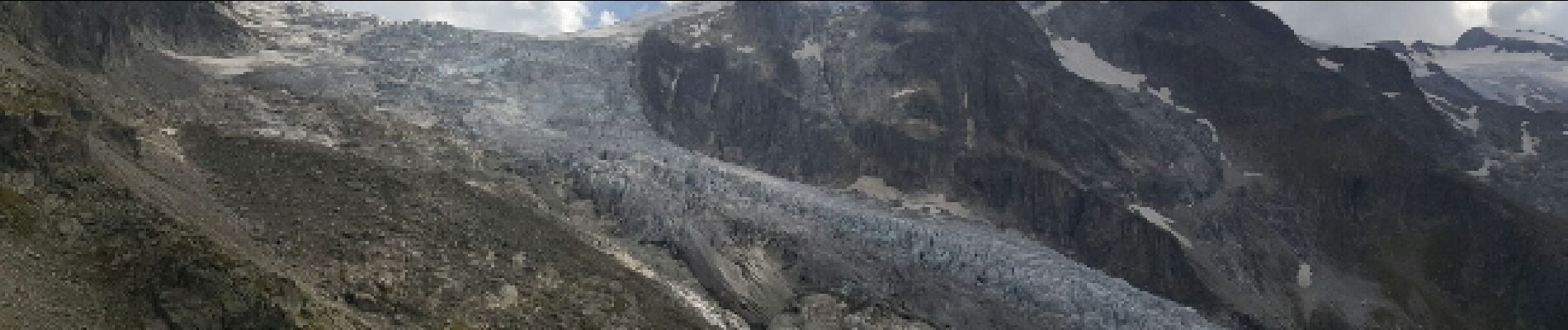
Très pénible fin de journée avec orage et pluie battante presque arrivé à la fenêtre d'Arpette.
Photos


Positioning
Country:
France
Region :
Auvergne-Rhône-Alpes
Department/Province :
Upper Savoy
Municipality :
Chamonix-Mont-Blanc
Location:
Unknown
Start:(Dec)
Start:(UTM)
341051 ; 5096528 (32T) N.
Comments