


CMX ZRMT Étape 1 col de la Forcez- Champex

jeff2
User
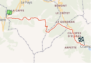

Length
13.8 km

Max alt
2053 m

Uphill gradient
761 m
Km-Effort
24 km

Min alt
1315 m

Downhill gradient
804 m
Boucle
No
Creation date :
2016-09-25 00:00:00.0
Updated on :
2016-09-25 00:00:00.0
4h35
Difficulty : Easy

FREE GPS app for hiking
 SityTrail
IGN / Geographical institutes
SityTrail Plus
The world is yours!
About
Trail Walking of 13.8 km to be discovered at Valais/Wallis, Martigny, Trient. This trail is proposed by jeff2.
Description
Beaucoup plus facile qu'hier
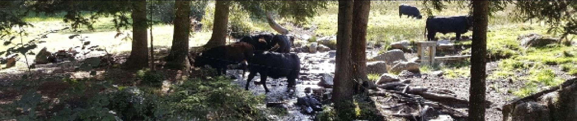
Photos


Positioning
Country:
Switzerland
Region :
Valais/Wallis
Department/Province :
Martigny
Municipality :
Trient
Location:
Unknown
Start:(Dec)
Start:(UTM)
345435 ; 5102395 (32T) N.
Comments