


CHX ZRMT Étape 10 de Rwanda à Zermatt

jeff2
User
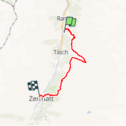

Length
18.5 km

Max alt
2372 m

Uphill gradient
1408 m
Km-Effort
37 km

Min alt
1427 m

Downhill gradient
1229 m
Boucle
No
Creation date :
2016-09-25 00:00:00.0
Updated on :
2016-09-25 00:00:00.0
6h09
Difficulty : Medium

FREE GPS app for hiking
 SityTrail
IGN / Geographical institutes
SityTrail Plus
The world is yours!
About
Trail Walking of 18.5 km to be discovered at Valais/Wallis, Visp, Randa. This trail is proposed by jeff2.
Description
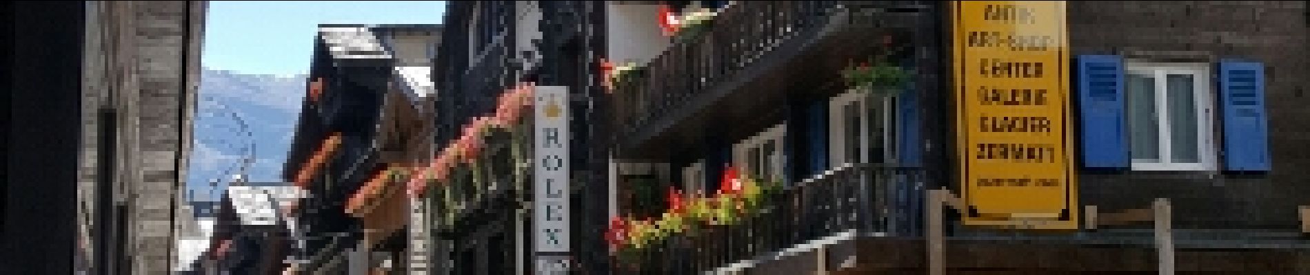
La plus journée pour la météo et la plus belle arrivée sur Zermatt
Photos


28 photos in total. Please click on a photo to see them all in the gallery.
Positioning
Country:
Switzerland
Region :
Valais/Wallis
Department/Province :
Visp
Municipality :
Randa
Location:
Unknown
Start:(Dec)
Start:(UTM)
405803 ; 5104317 (32T) N.
Comments