


St_Sandoux_Tour_Puy

jagarnier
User GUIDE
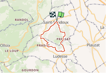


2h45
Difficulty : Medium

FREE GPS app for hiking
 SityTrail
IGN / Geographical institutes
SityTrail Plus
The world is yours!
About
Trail Walking of 9.3 km to be discovered at Auvergne-Rhône-Alpes, Puy-de-Dôme, Saint-Sandoux. This trail is proposed by jagarnier.
Description
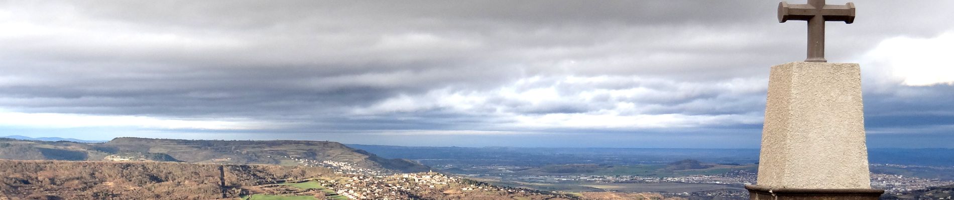
Au cœur d'un pays de transition entre Allier et Sancy, le puy de Saint-Sandoux est un étonnant belvédère avec, au sommet, un panorama à 360°.
Ses pentes sont le royaume de la pomme d’Auvergne (33 variétés) et de la nature : vignes, blés, pelouses sèches, riche variété faunistique et floristique.
Photos

Positioning
Comments

