Trail Walking Charlas - Charlas: gorges de la Save - Photo

Charlas: gorges de la Save

 pidjam
pidjam

User

© OpenStreetMap contributors
Length
Length
16.7 km
Max alt
Max alt
436 m
Uphill gradient
Uphill gradient
310 m
Km-Effort
Km-Effort  
21 km
Min alt
Min alt
279 m
Downhill gradient
Downhill gradient
306 m
Boucle
Boucle
Yes
Creation date :
2016-09-29 00:00:00.0
Updated on :
2016-09-29 00:00:00.0

(0 Reviews)

Walking
Walking
4h33
Difficulty : Easy

Scan this QR Code to open this trail in the SityTrail application

FREE GPS app for hiking

Logo SityTrail SityTrail

IGN / Geographical institutes

Download SityTrail from the App Store Download SityTrail from Google Play

Logo SityTrail SityTrail Plus

The world is yours!

Download SityTrail from the App Store Download SityTrail from Google Play Download SityTrail on Huawei AppGallery

About

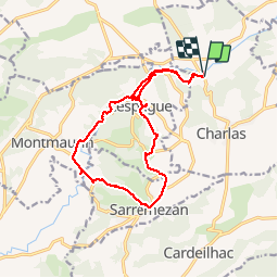
Trail Walking of 16.7 km to be discovered at Occitania, Haute-Garonne, Charlas. This trail is proposed by pidjam.

Description

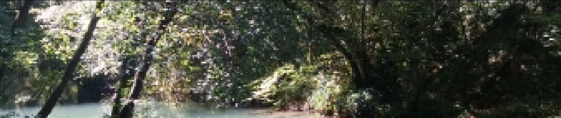
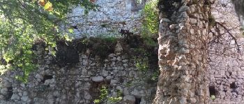
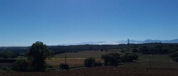
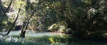
Belle promenade dans la campagne qui s'achève sur les gorges de la Save (à l'ombre et au frais). La route des gorges est fermée à la circulation; elle est bordée de nombreux abris sous roches préhistoriques.
(pique nique possible à La Coume près de Montmaurin)

Elevation profile

Photos

Points of interest

Point of interest Lespugue - Château de Lespugue - Photo
pidjam
Point of interest Lespugue - Un chçene à Lespugue - Photo
pidjam
Point of interest Lespugue - Vue vers Saint Gaudens - Photo
pidjam
Point of interest Lespugue - La Save - Photo
pidjam
LESPUGUE 

Positioning

Country:
France
Region :
Occitania
Department/Province :
Haute-Garonne
Municipality :
Charlas
Location:
Unknown
Start:(UTM)
312062 ; 4789965 (31T) N.


Close
My subscriptions