


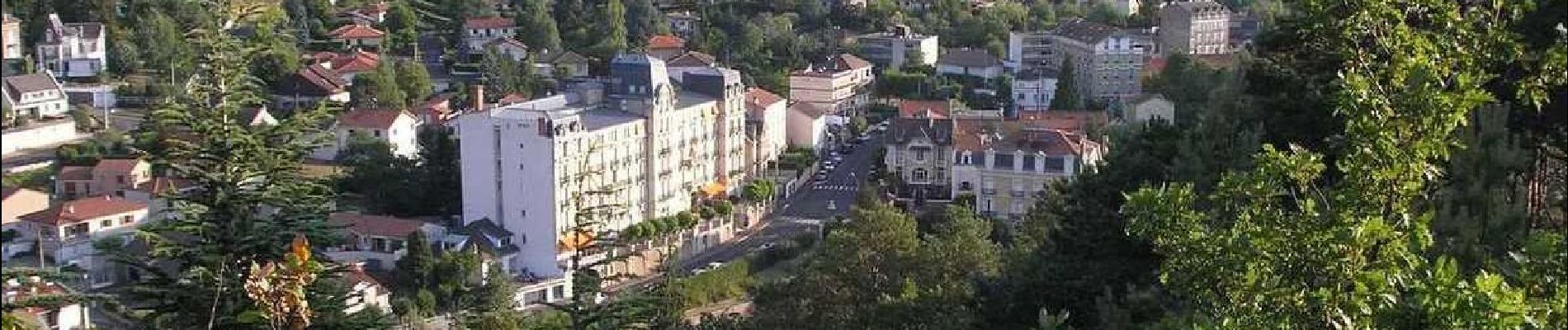
Chatel_Bechet_Chalusset

jagarnier
User GUIDE
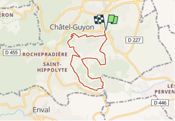


2h15
Difficulty : Easy

FREE GPS app for hiking
 SityTrail
IGN / Geographical institutes
SityTrail Plus
The world is yours!
About
Trail Walking of 7.1 km to be discovered at Auvergne-Rhône-Alpes, Puy-de-Dôme, Châtel-Guyon. This trail is proposed by jagarnier.
Description
Une randonnée entre bois, vignes et cultures. Du mont Chalusset, vous dominerez la vallée de Sans-Souci et de Chatel-Guyon, la plus récente des stations thermales où Maupassant situa le décor de "Mont-Oriol".
Photos

Positioning
Comments