Trail Walking Saint-Pardoux - St_Pardoux_Barrage_Sep - Photo
 jagarnier
jagarnier

User GUIDE

© OpenStreetMap contributors
Length
Length
10.5 km
Max alt
Max alt
647 m
Uphill gradient
Uphill gradient
235 m
Km-Effort
Km-Effort  
13.6 km
Min alt
Min alt
501 m
Downhill gradient
Downhill gradient
235 m
Boucle
Boucle
Yes
Creation date :
2016-10-06 00:00:00.0
Updated on :
2025-06-19 04:39:34.138

(1 Reviews)

Walking
Walking
3h00
Difficulty : Medium

Scan this QR Code to open this trail in the SityTrail application

FREE GPS app for hiking

Logo SityTrail SityTrail

IGN / Geographical institutes

Download SityTrail from the App Store Download SityTrail from Google Play

Logo SityTrail SityTrail Plus

The world is yours!

Download SityTrail from the App Store Download SityTrail from Google Play Download SityTrail on Huawei AppGallery

About

Trail Walking of 10.5 km to be discovered at Auvergne-Rhône-Alpes, Puy-de-Dôme, Saint-Pardoux. This trail is proposed by jagarnier.

Description

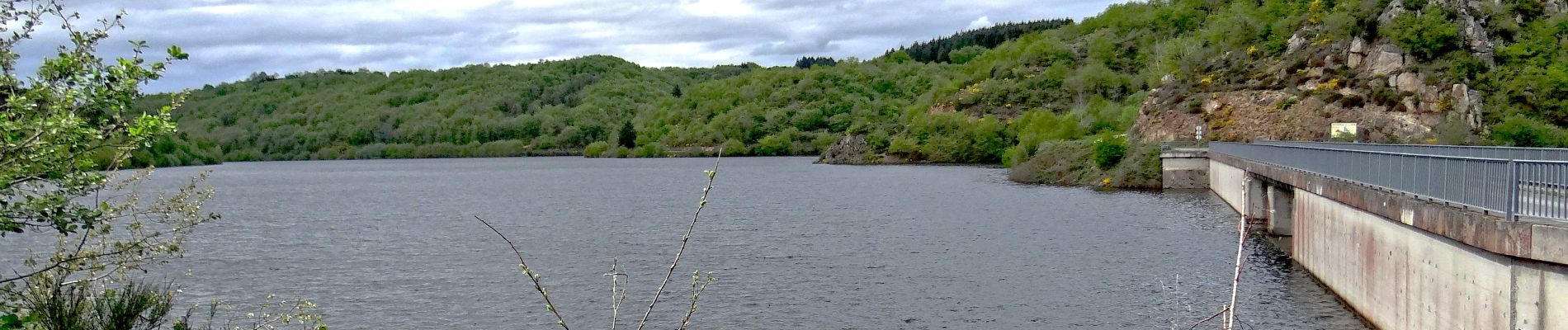
Au départ la vue porte jusqu'à la chaine des Puys avant de plonger sur la vallée de la Sep et sa retenue d'eau. Vous longerez celle-ci avant de remonter sur le plateau pour découvrir le village de Saint-Hilaire-la-Croix et son église orthogonale.

Elevation profile

Photos

Positioning

Country:
France
Region :
Auvergne-Rhône-Alpes
Department/Province :
Puy-de-Dôme
Municipality :
Saint-Pardoux
Location:
Unknown
Start:(UTM)
501186 ; 5100371 (31T) N.

Comments

Please log in to post a review or rate the element


Close
My subscriptions