


les gras de Lablachère

Michel07
User


Length
14.9 km

Max alt
270 m

Uphill gradient
191 m
Km-Effort
17.5 km

Min alt
173 m

Downhill gradient
191 m
Boucle
Yes
Creation date :
2016-10-06 00:00:00.0
Updated on :
2016-10-06 00:00:00.0
3h39
Difficulty : Easy

FREE GPS app for hiking
 SityTrail
IGN / Geographical institutes
SityTrail Plus
The world is yours!
About
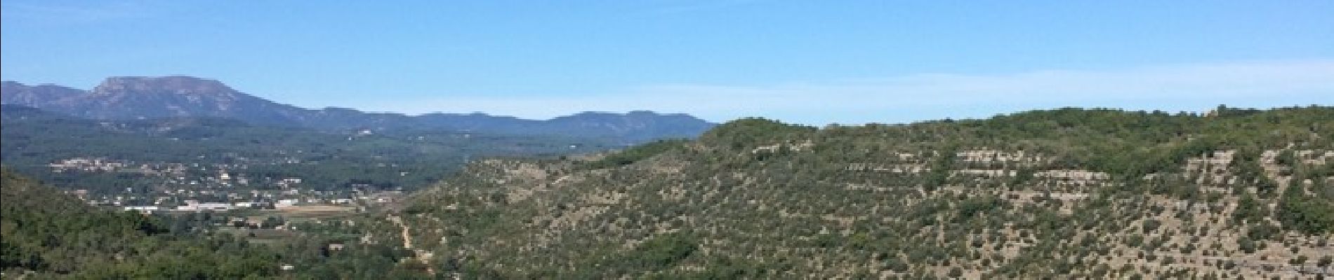
Trail Walking of 14.9 km to be discovered at Auvergne-Rhône-Alpes, Ardèche, Lablachère. This trail is proposed by Michel07.
Photos


Positioning
Country:
France
Region :
Auvergne-Rhône-Alpes
Department/Province :
Ardèche
Municipality :
Lablachère
Location:
Unknown
Start:(Dec)
Start:(UTM)
597526 ; 4923510 (31T) N.
Comments