


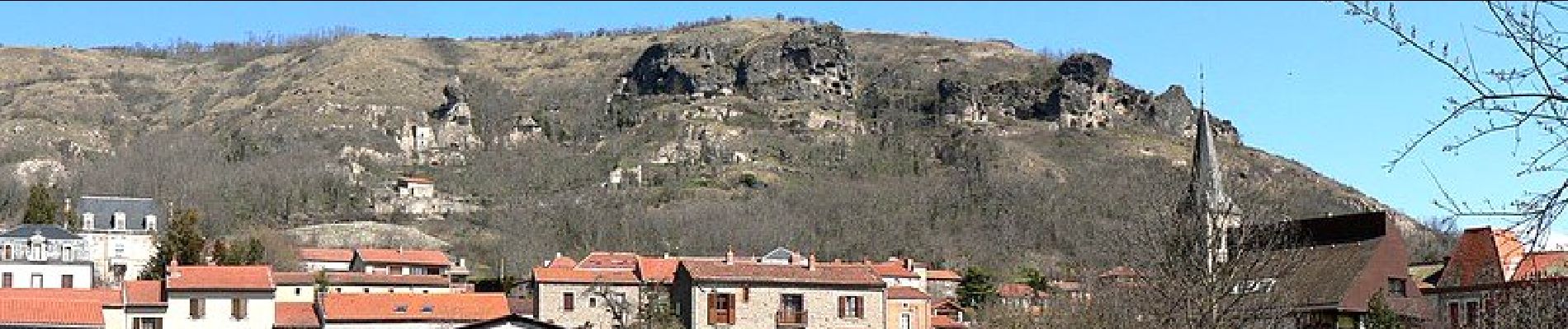
Perrier_Pardines

jagarnier
User GUIDE
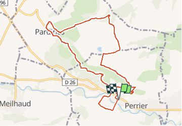


3h15
Difficulty : Medium

FREE GPS app for hiking
 SityTrail
IGN / Geographical institutes
SityTrail Plus
The world is yours!
About
Trail Walking of 10.7 km to be discovered at Auvergne-Rhône-Alpes, Puy-de-Dôme, Perrier. This trail is proposed by jagarnier.
Description
Une histoire géologique complexe marque le plateau où se passe la plus grande partie de la randonnée. L’érosion nous a légué des formes spectaculaires. Des cheminées de fées et des abris troglodytes offert aux premiers occupants de ces lieux. Un des sites les plus spectaculaires du Puy de Dôme.
Photos

Positioning
Comments