


mini sentier des vignerons

patrickmays3
User


Length
10.5 km

Max alt
336 m

Uphill gradient
200 m
Km-Effort
13.1 km

Min alt
208 m

Downhill gradient
201 m
Boucle
Yes
Creation date :
2016-10-10 00:00:00.0
Updated on :
2016-10-10 00:00:00.0
2h34
Difficulty : Easy

FREE GPS app for hiking
 SityTrail
IGN / Geographical institutes
SityTrail Plus
The world is yours!
About
Trail Walking of 10.5 km to be discovered at Provence-Alpes-Côte d'Azur, Bouches-du-Rhône, Rognes. This trail is proposed by patrickmays3.
Description
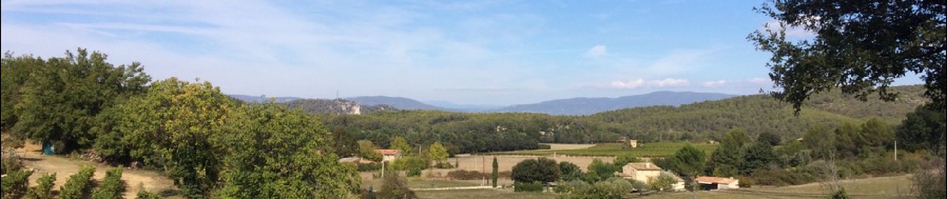
Traversée forêt, vignobles
Photos


Positioning
Country:
France
Region :
Provence-Alpes-Côte d'Azur
Department/Province :
Bouches-du-Rhône
Municipality :
Rognes
Location:
Unknown
Start:(Dec)
Start:(UTM)
687811 ; 4838153 (31T) N.
Comments