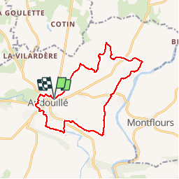
Trail Walking Andouillé - Tour Andouillé - Photo
© OpenStreetMap contributors
Length
Length
14.6 km
Max alt
Max alt
124 m
Uphill gradient
Uphill gradient
192 m
Km-Effort
Km-Effort  
17.2 km
Min alt
Min alt
66 m
Downhill gradient
Downhill gradient
193 m
Boucle
Boucle
Yes
Creation date :
2016-10-30 00:00:00.0
Updated on :
2016-10-30 00:00:00.0

(0 Reviews)

Walking
Walking
3h45
Difficulty : Unknown

Scan this QR Code to open this trail in the SityTrail application

FREE GPS app for hiking

Logo SityTrail SityTrail

IGN / Geographical institutes

Download SityTrail from the App Store Download SityTrail from Google Play

Logo SityTrail SityTrail Plus

The world is yours!

Download SityTrail from the App Store Download SityTrail from Google Play Download SityTrail on Huawei AppGallery

About

Trail Walking of 14.6 km to be discovered at Pays de la Loire, Mayenne, Andouillé. This trail is proposed by Axelloceane.

Description

Départ vers le collège puis suivre le sentier vers La Gastardière et ensuite les Pélardières.Traverser la D225 pour découvrir la Mayenne et Rochefort.Pour rejoindre Andouillé possibilité de suivre le GR de Pays des Tours des Marches ou sinon passer par Vaugeois puis suivre l'Ernée et passer par le camping et le parc.  
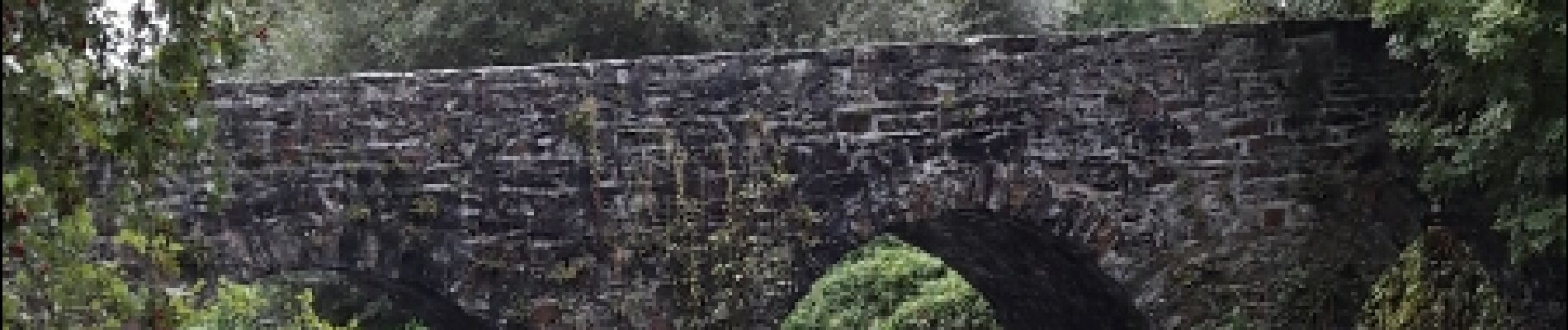
Elevation profile

Photos

Positioning

Country:
France
Region :
Pays de la Loire
Department/Province :
Mayenne
Municipality :
Andouillé
Location:
Unknown
Start:(UTM)
664964 ; 5338444 (30U) N.


Close
My subscriptions