


de l'mare à ch'terril

reneperrin
User
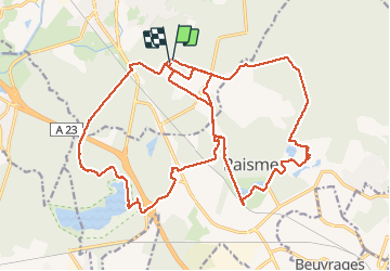

Length
27 km

Max alt
80 m

Uphill gradient
260 m
Km-Effort
30 km

Min alt
15 m

Downhill gradient
259 m
Boucle
Yes
Creation date :
2016-10-23 00:00:00.0
Updated on :
2016-10-23 00:00:00.0
6h12
Difficulty : Easy

FREE GPS app for hiking
 SityTrail
IGN / Geographical institutes
SityTrail Plus
The world is yours!
About
Trail Walking of 27 km to be discovered at Hauts-de-France, Nord, Saint-Amand-les-Eaux. This trail is proposed by reneperrin.
Description
CAF St Amand
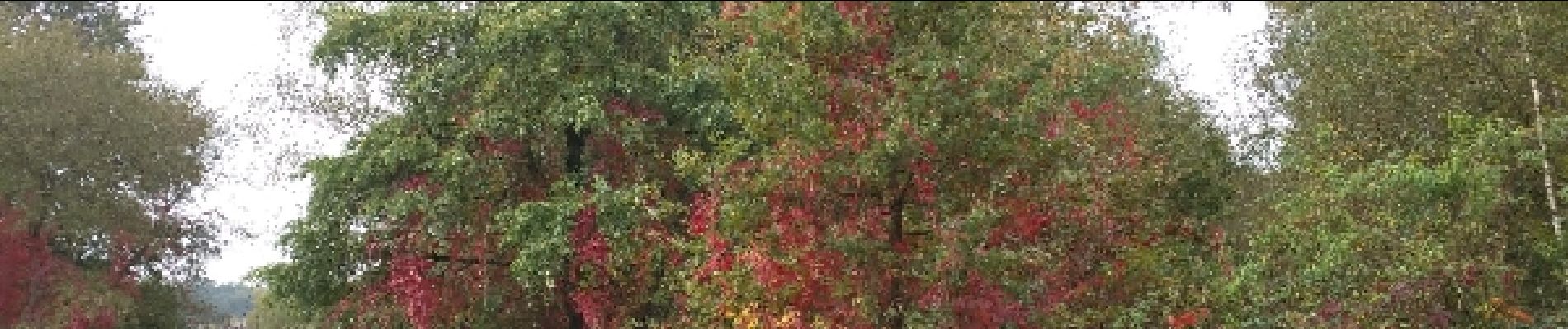
Photos

Positioning
Country:
France
Region :
Hauts-de-France
Department/Province :
Nord
Municipality :
Saint-Amand-les-Eaux
Location:
Unknown
Start:(Dec)
Start:(UTM)
532473 ; 5586212 (31U) N.
Comments