


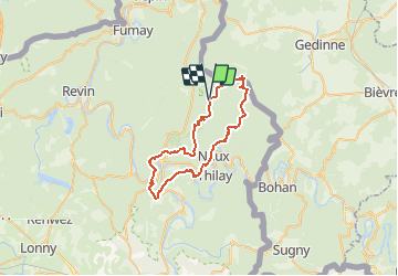


23 km | 30 km-effort


User


FREE GPS app for hiking
 SityTrail
IGN / Geographical institutes
SityTrail World
The world is yours!
Trail Walking of 40 km to be discovered at Grand Est, Ardennes, Thilay. This trail is proposed by doloop.
Soir du Jour 0:
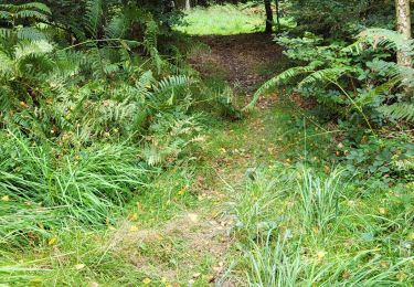
Garez vous à Linchamps vers 22h, montez à l'ancienne maison forestière du champs Bernard et établissez le bivouac sur la pelouse.
Matin J1:
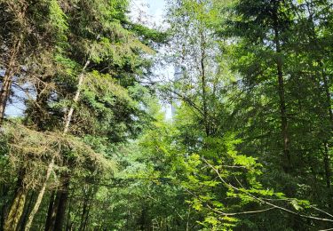
Profitez de l'air de picnic pour prendre un petit déjeuner, et des poubelles pour vous débarrasser de vos détritus. Suivez la trace jusqu'à la foret Domaniale de Chateau-Regnault et déjeunez au sommet.
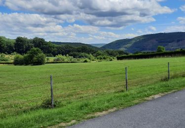
Suivez le guide jusqu'à Monthermé. Aussitot franchi la rivière (vers 17h) ravitaillez vous en eau au café à droite après le pont.
puis reprenez la route jusqu'au près des anciennes carrières: juste avant la descente, à droite, vous trouverez une zone plate idéale pour un bivouac.
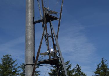
J2: ne partez pas trop tard, avalez un solide petit déjeuner, et marchez jusqu'à roc la tour, puis la tour du millénaire pour déjeuner 4h plus tard.
Rejoignez la voiture en moins de 2h.
Walking

Walking
Walking
Walking

Walking
Walking
Walking
Walking
excellente distance pour deux jours