


Ceyrat_Redon

jagarnier
User GUIDE
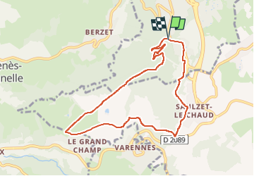

Length
8.6 km

Max alt
807 m

Uphill gradient
237 m
Km-Effort
11.8 km

Min alt
580 m

Downhill gradient
233 m
Boucle
Yes
Creation date :
2016-10-28 00:00:00.0
Updated on :
2023-02-09 10:35:29.973
2h30
Difficulty : Easy

FREE GPS app for hiking
 SityTrail
IGN / Geographical institutes
SityTrail Plus
The world is yours!
About
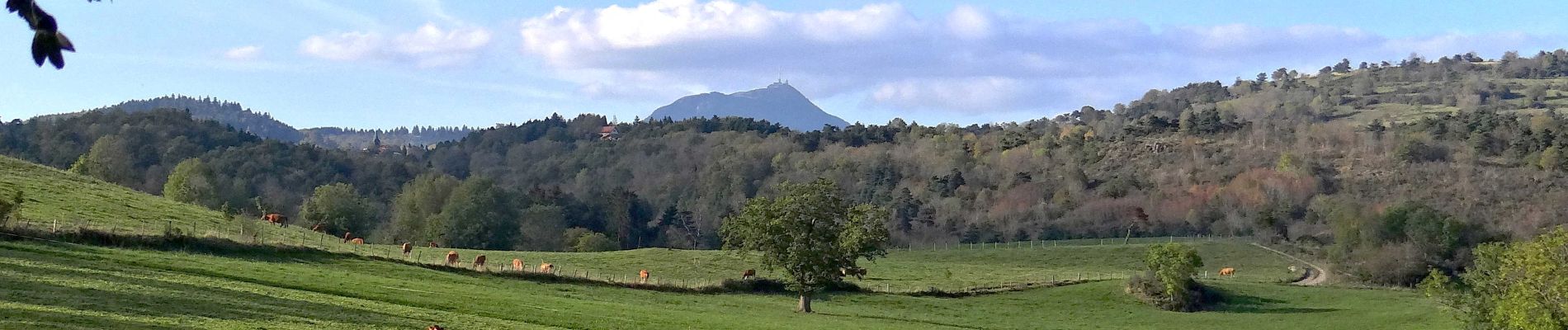
Trail Walking of 8.6 km to be discovered at Auvergne-Rhône-Alpes, Puy-de-Dôme, Ceyrat. This trail is proposed by jagarnier.
Photos

Positioning
Country:
France
Region :
Auvergne-Rhône-Alpes
Department/Province :
Puy-de-Dôme
Municipality :
Ceyrat
Location:
Unknown
Start:(Dec)
Start:(UTM)
504937 ; 5063482 (31T) N.
Comments