


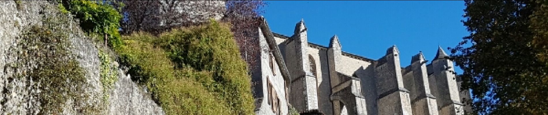
Saint-Bertrand-de-Comminges (31)

AndreLACOMBE
User

Length
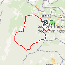
8.9 km

Max alt
819 m

Uphill gradient
419 m
Km-Effort
14.5 km

Min alt
481 m

Downhill gradient
423 m
Boucle
Yes
Creation date :
2016-10-29 00:00:00.0
Updated on :
2016-10-29 00:00:00.0
3h24
Difficulty : Medium

FREE GPS app for hiking
 SityTrail
IGN / Geographical institutes
SityTrail Plus
The world is yours!
About
Trail Walking of 8.9 km to be discovered at Occitania, Haute-Garonne, Saint-Bertrand-de-Comminges. This trail is proposed by AndreLACOMBE.
Description
Tour du bois de Ruère par le Mail de Hard (819 m). Circuit sympa en forêt.
Photos
 - Photo 1")
 - Photo 2")
 - Photo 3")
Positioning
Country:
France
Region :
Occitania
Department/Province :
Haute-Garonne
Municipality :
Saint-Bertrand-de-Comminges
Location:
Unknown
Start:(Dec)
Start:(UTM)
301957 ; 4766689 (31T) N.
Comments