


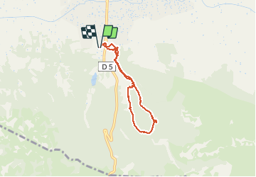

19.2 km | 27 km-effort


User GUIDE


FREE GPS app for hiking
 SityTrail
IGN / Geographical institutes
SityTrail World
The world is yours!
Trail Walking of 6.4 km to be discovered at Provence-Alpes-Côte d'Azur, Bouches-du-Rhône, Saint-Rémy-de-Provence. This trail is proposed by amiral13.
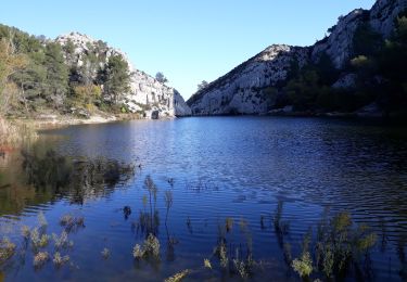
le sentier qui quitte le vallon de Saint Clerg, en trace directe vers le rocher des 2 trous, se termine par un éboulis; pour éviter cela, restez dans le vallon et faites un aller-retour par la crête, plus long mais plus facile.
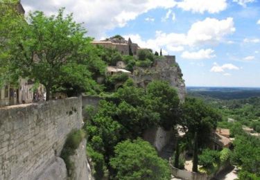
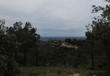
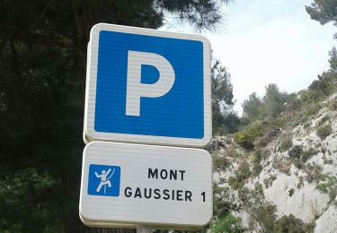
Pour le retour nous souhaitions passer par le mont Gaussier pour rejoindre ensuite rejoindre le barrage des Peirou; Malheureusement les 2 passages pourvus d’échelles sont interdit. Nous avons du nous résoudre à redescendre directement au site antique de Glanum. Cela nous a permis de prendre un peu plus de temps pour le visiter.


Walking

Walking
Mountain bike
Mountain bike
Mountain bike

Coupling
Walking

Walking
Walking