


Cap de Pale

zazibelle
User
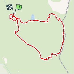

Length
5.9 km

Max alt
2229 m

Uphill gradient
443 m
Km-Effort
11.8 km

Min alt
1778 m

Downhill gradient
445 m
Boucle
Yes
Creation date :
2016-10-31 00:00:00.0
Updated on :
2016-10-31 00:00:00.0
2h34
Difficulty : Easy

FREE GPS app for hiking
 SityTrail
IGN / Geographical institutes
SityTrail Plus
The world is yours!
About
Trail Walking of 5.9 km to be discovered at Occitania, Hautespyrenees, Germ. This trail is proposed by zazibelle.
Positioning
Country:
France
Region :
Occitania
Department/Province :
Hautespyrenees
Municipality :
Germ
Location:
Unknown
Start:(Dec)
Start:(UTM)
290720 ; 4739637 (31T) N.
Comments