


fondespierres

kephas
User
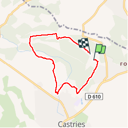

Length
6.6 km

Max alt
96 m

Uphill gradient
67 m
Km-Effort
7.4 km

Min alt
51 m

Downhill gradient
62 m
Boucle
Yes
Creation date :
2016-11-02 00:00:00.0
Updated on :
2016-11-02 00:00:00.0
3h37
Difficulty : Very easy

FREE GPS app for hiking
 SityTrail
IGN / Geographical institutes
SityTrail Plus
The world is yours!
About
Trail Walking of 6.6 km to be discovered at Occitania, Hérault, Castries. This trail is proposed by kephas.
Description
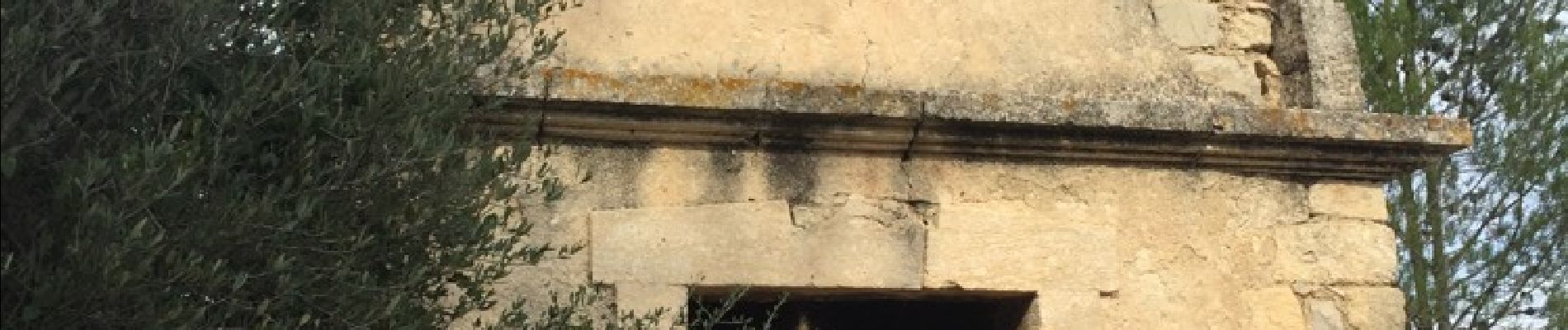
Balade en garrigue autour de l'aqueduc de Castries
Photos


Positioning
Country:
France
Region :
Occitania
Department/Province :
Hérault
Municipality :
Castries
Location:
Unknown
Start:(Dec)
Start:(UTM)
580152 ; 4838347 (31T) N.
Comments