


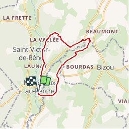

10.6 km | 13.5 km-effort


User


FREE GPS app for hiking
 SityTrail
IGN / Geographical institutes
SityTrail World
The world is yours!
Trail Walking of 10.4 km to be discovered at Normandy, Orne, Longny les Villages. This trail is proposed by ODDAD78.
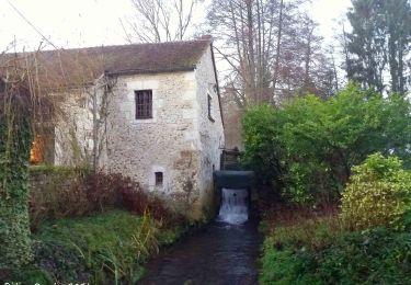
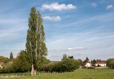
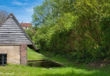
Le bois des Sicots. Point de départ au parking de la maire de Monceaux-au-Perche. Superbe vallée de la Jambéée aux panoramas nombreux et caractéristiques des paysages du Perche
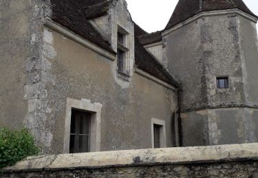
Au printemps / été, prendre le temps de visiter les jardins du manoir de Pontgirard

Walking
![Trail Walking Bizou - [Itinéraire] Les sables du Perche - Photo](https://media.geolcdn.com/t/375/260/ext.jpg?maxdim=2&url=https%3A%2F%2Fmedia.geolcdn.com%2Ff%2F6b586e88-fad3-40df-be07-9b2a61186b9b.jpeg)
Walking

On foot
![Trail Walking La Chapelle-Montligeon - [Itinéraire] Le Mont Ligeon - Photo](https://media.geolcdn.com/t/375/260/ext.jpg?maxdim=2&url=https%3A%2F%2Fmedia.geolcdn.com%2Ff%2Fce92da88-fb92-411f-965d-5e4e270d0f79.jpeg)
Walking
Walking
Walking
Walking
Walking
Walking