


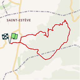

22 km | 31 km-effort


User


FREE GPS app for hiking
 SityTrail
IGN / Geographical institutes
SityTrail World
The world is yours!
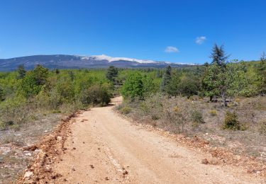
Trail Walking of 8.7 km to be discovered at Provence-Alpes-Côte d'Azur, Vaucluse, Blauvac. This trail is proposed by d.jeanjean.
Walking

Walking
Walking
Walking

Walking
Walking
Mountain bike
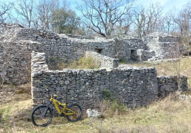
Mountain bike
Walking
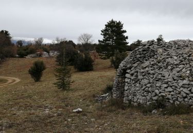
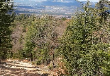
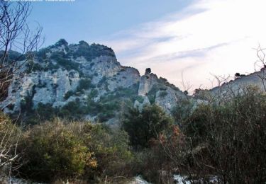
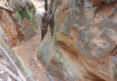
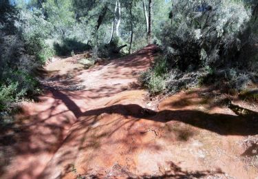
Randonnée sans intérêt: sur un large chemin empierré en plein soleil et avec très peu de vues intéressantes au milieu des chênes verts, des cistes et quelques cèdres.