


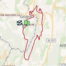


86 km | 106 km-effort


User


FREE GPS app for hiking
 SityTrail
IGN / Geographical institutes
SityTrail World
The world is yours!
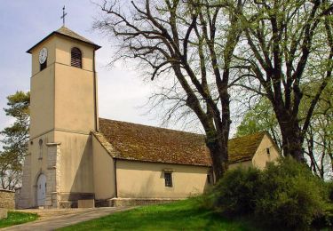
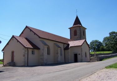
Trail Walking of 8.8 km to be discovered at Bourgogne-Franche-Comté, Jura, Val-Sonnette. This trail is proposed by j0hnbear.
Cycle
Walking

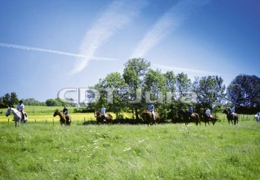
Equestrian

Mountain bike
Walking

Equestrian
Mountain bike

Walking
Equestrian