Chauriat_Coteaux

jagarnier
User GUIDE
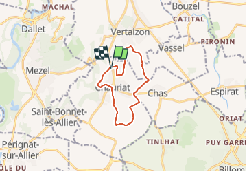

Length
9.9 km

Max alt
519 m

Uphill gradient
248 m
Km-Effort
13.2 km

Min alt
385 m

Downhill gradient
246 m
Boucle
Yes
Creation date :
2016-11-14 00:00:00.0
Updated on :
2023-11-29 08:54:11.01
3h00
Difficulty : Medium

FREE GPS app for hiking
 SityTrail
IGN / Geographical institutes
SityTrail Plus
The world is yours!
About
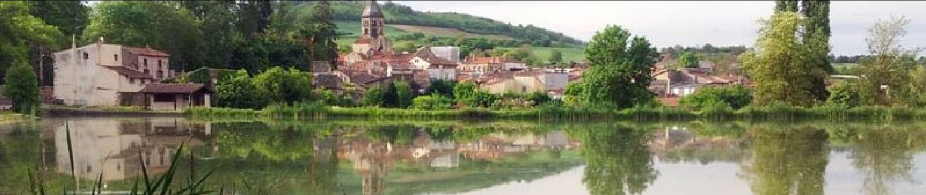
Trail Walking of 9.9 km to be discovered at Auvergne-Rhône-Alpes, Puy-de-Dôme, Chauriat. This trail is proposed by jagarnier.
Description
Chauriat, ancien fort villageois, est caractéristique de la Limagne : Cultures d’ail et de céréales et coteaux favorisant une bonne exposition pour les vignes.
Photos

Positioning
Country:
France
Region :
Auvergne-Rhône-Alpes
Department/Province :
Puy-de-Dôme
Municipality :
Chauriat
Location:
Unknown
Start:(Dec)
Start:(UTM)
521699 ; 5067147 (31T) N.
Comments