


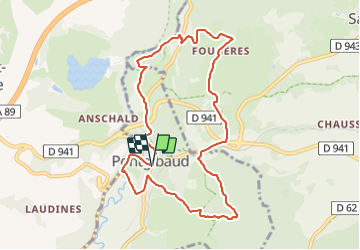
Pontgibaud_Peschadoire_Sioule

jagarnier
User GUIDE


2h45
Difficulty : Easy

FREE GPS app for hiking
 SityTrail
IGN / Geographical institutes
SityTrail Plus
The world is yours!
About
Trail Walking of 9.6 km to be discovered at Auvergne-Rhône-Alpes, Puy-de-Dôme, Pontgibaud. This trail is proposed by jagarnier.
Description
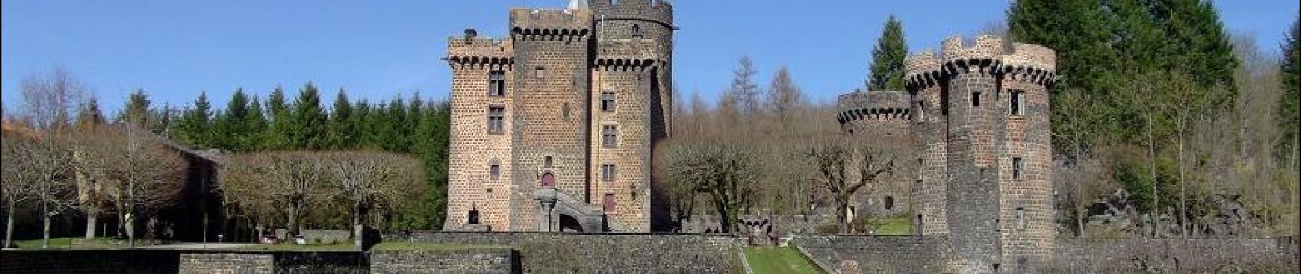
Après Pontgibaud et son château Dauphin la randonnée retrouve les traces d'un passé minier et gagne les bords de la Sioule. En s'élevant sur le plateau des Dômes vous pénètrerez dans les espaces étranges et chaotiques de la Cheire.
Photos

Positioning
Comments