


sortie vtt du 13112026

fabwin
User GUIDE
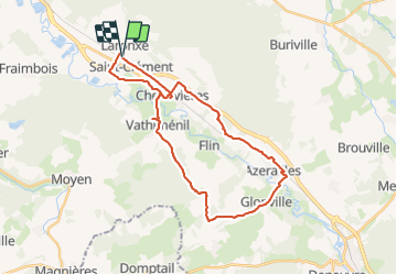

Length
31 km

Max alt
323 m

Uphill gradient
292 m
Km-Effort
35 km

Min alt
234 m

Downhill gradient
290 m
Boucle
Yes
Creation date :
2016-11-13 00:00:00.0
Updated on :
2016-11-13 00:00:00.0
2h19
Difficulty : Easy

FREE GPS app for hiking
 SityTrail
IGN / Geographical institutes
SityTrail Plus
The world is yours!
About
Trail Mountain bike of 31 km to be discovered at Grand Est, Meurthe-et-Moselle, Saint-Clément. This trail is proposed by fabwin.
Description
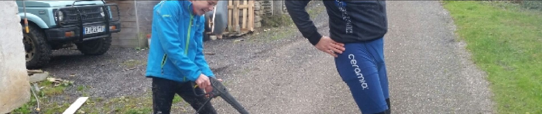
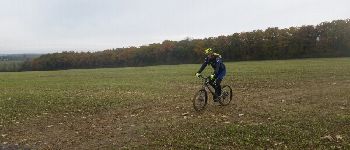
Avec Jojo, séb, & Luca qui testait un Lapierre Overvolt
Photos


Positioning
Country:
France
Region :
Grand Est
Department/Province :
Meurthe-et-Moselle
Municipality :
Saint-Clément
Location:
Unknown
Start:(Dec)
Start:(UTM)
323022 ; 5378538 (32U) N.
Comments