


Trigance Rancoumas 2 rando

Sugg
User
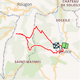

Length
16.1 km

Max alt
1156 m

Uphill gradient
623 m
Km-Effort
24 km

Min alt
769 m

Downhill gradient
620 m
Boucle
Yes
Creation date :
2019-03-22 16:59:04.071
Updated on :
2019-03-22 16:59:04.368
5h13
Difficulty : Medium

FREE GPS app for hiking
 SityTrail
IGN / Geographical institutes
SityTrail Plus
The world is yours!
About
Trail Walking of 16.1 km to be discovered at Provence-Alpes-Côte d'Azur, Var, Trigance. This trail is proposed by Sugg.
Description
23 novembre 2016
Rando Pierre à la journée au départ de Trigance.
Belle journée entre 2 déluges.
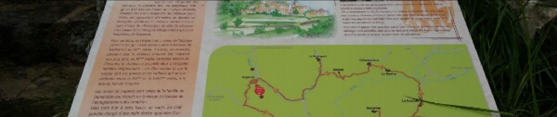
Rancoumas est une falaise rocheuse surplombant le Verdon de 400m et offrant un magnifique panoramique .
Photos


Positioning
Country:
France
Region :
Provence-Alpes-Côte d'Azur
Department/Province :
Var
Municipality :
Trigance
Location:
Unknown
Start:(Dec)
Start:(UTM)
294103 ; 4848459 (32T) N.
Comments