


Denicé (69)

Thomasdanielle
User
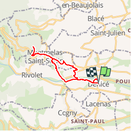

Length
11.6 km

Max alt
670 m

Uphill gradient
444 m
Km-Effort
17.5 km

Min alt
260 m

Downhill gradient
443 m
Boucle
Yes
Creation date :
2016-12-02 00:00:00.0
Updated on :
2016-12-02 00:00:00.0
3h17
Difficulty : Easy

FREE GPS app for hiking
 SityTrail
IGN / Geographical institutes
SityTrail Plus
The world is yours!
About
Trail Walking of 11.6 km to be discovered at Auvergne-Rhône-Alpes, Rhône, Denicé. This trail is proposed by Thomasdanielle.
Description
11,6 km - D. 440 m (02/12/2016)
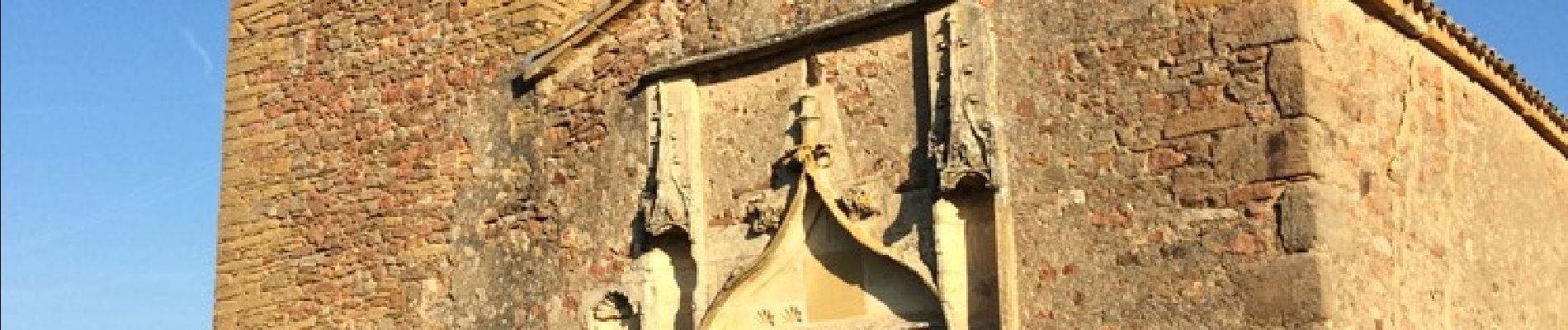
Départ proche de l'église. Agréable randonnée.
Retour : une partie par le même sentier puis descente au travers des vignes.
Photos
 - Photo 1")
 - Photo 2")
 - Photo 3")
 - Photo 4")
 - Photo 5")
 - Photo 6")
 - Photo 7")
 - Photo 8")
Positioning
Country:
France
Region :
Auvergne-Rhône-Alpes
Department/Province :
Rhône
Municipality :
Denicé
Location:
Unknown
Start:(Dec)
Start:(UTM)
627446 ; 5095553 (31T) N.
Comments