Trail Mountain bike Nailloux - nailloux-20-ils - Photo
 dboudy
dboudy

User

© OpenStreetMap contributors
Length
Length
20 km
Max alt
Max alt
287 m
Uphill gradient
Uphill gradient
414 m
Km-Effort
Km-Effort  
26 km
Min alt
Min alt
197 m
Downhill gradient
Downhill gradient
419 m
Boucle
Boucle
No
Creation date :
2014-12-10 00:00:00.0
Updated on :
2014-12-10 00:00:00.0

(0 Reviews)

Mountain bike
Mountain bike
--
Difficulty : Medium

Scan this QR Code to open this trail in the SityTrail application

FREE GPS app for hiking

Logo SityTrail SityTrail

IGN / Geographical institutes

Download SityTrail from the App Store Download SityTrail from Google Play

Logo SityTrail SityTrail World

The world is yours!

Download SityTrail from the App Store Download SityTrail from Google Play Download SityTrail on Huawei AppGallery

About

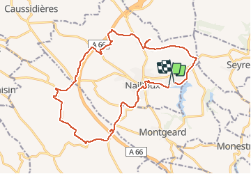
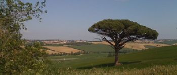
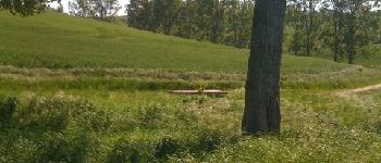
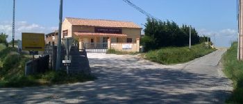
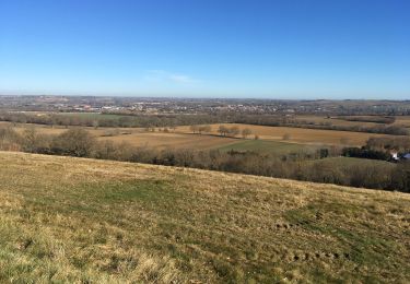
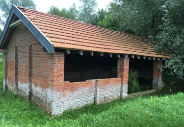
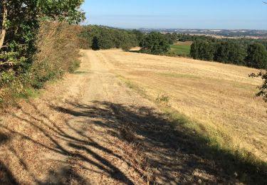
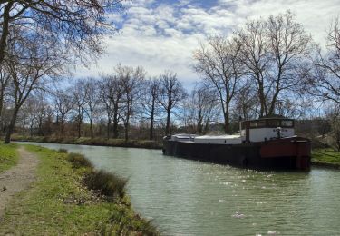
Trail Mountain bike of 20 km to be discovered at Occitania, Haute-Garonne, Nailloux. This trail is proposed by dboudy.

Elevation profile

Photos

Points of interest

Point of interest Nailloux - recoupement - Photo
dboudy
NAILLOUX 
Point of interest Nailloux - saint meen - Photo
dboudy
NAILLOUX 
Point of interest Nailloux - piquetalent - Photo
dboudy
NAILLOUX 
Point of interest Aignes - aignes- d25 - Photo
dboudy
AIGNES 
Point of interest Aignes - le pain parasol  - Photo
dboudy
Point of interest Nailloux - table pic-nic - Photo
dboudy
NAILLOUX 
Point of interest Nailloux - combouil - Photo
dboudy
NAILLOUX 

Positioning

Country:
France
Region :
Occitania
Department/Province :
Haute-Garonne
Municipality :
Nailloux
Location:
Unknown
Start:(UTM)
389510 ; 4801235 (31T) N.

Trails nearby

Trail Walking Montgeard - lac  - Photo
Walking
GUIDE
marmotte65

Walking

Very easy
Montgeard, Occitania, Haute-Garonne, France
5.4 km | 6.6 km-effort
1h 58min
Yes
Trail Walking Gardouch - Canal du Midi - Photo
Walking
richardsimopons

Walking

Difficult
Gardouch, Occitania, Haute-Garonne, France
10.5 km | 12.7 km-effort
2h 32min
Yes
Trail Walking Montgeard - Mongeard et le lac  - Photo
Walking
richardsimopons

Walking

Medium
Montgeard, Occitania, Haute-Garonne, France
7.4 km | 9.5 km-effort
1h 50min
Yes
Trail Walking Montgeard - Boucle autour de Montréal  - Photo
Walking
Mamilaure

Walking

Medium
Montgeard, Occitania, Haute-Garonne, France
56 km | 73 km-effort
2h 44min
No
Trail Walking Montgeard - lac  - Photo
Walking
Mamilaure

Walking

Medium
Montgeard, Occitania, Haute-Garonne, France
8 km | 10.3 km-effort
1h 50min
Yes
Trail Walking Gardouch - Le canal du Midi - Photo
Walking
richardsimopons

Walking

Difficult
Gardouch, Occitania, Haute-Garonne, France
11.2 km | 12.1 km-effort
2h 34min
No
Trail Walking Nailloux - Nailloux  - Photo
Walking
richardsimopons

Walking

Medium
Nailloux, Occitania, Haute-Garonne, France
7.1 km | 8.8 km-effort
1h 47min
Yes
Trail Walking Gardouch - Les Collines du Lauragais  - Photo
Walking
richardsimopons

Walking

Gardouch, Occitania, Haute-Garonne, France
8.3 km | 10.1 km-effort
2h 21min
Yes
Trail Walking Gardouch - Canal du Midi - Ecluse de Laval - En Cassan - Photo
Walking
tracegps

Walking

Easy
Gardouch, Occitania, Haute-Garonne, France
8.4 km | 8.9 km-effort
1h 40min
No


Close
My subscriptions