


stanneux nord ouest

Mullender
User
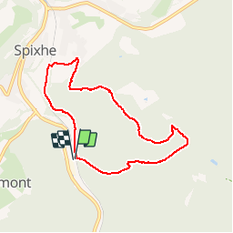

Length
6.7 km

Max alt
366 m

Uphill gradient
202 m
Km-Effort
9.4 km

Min alt
180 m

Downhill gradient
205 m
Boucle
Yes
Creation date :
2016-12-05 00:00:00.0
Updated on :
2016-12-05 00:00:00.0
1h20
Difficulty : Medium

FREE GPS app for hiking
 SityTrail
IGN / Geographical institutes
SityTrail Plus
The world is yours!
About
Trail Walking of 6.7 km to be discovered at Wallonia, Liège, Theux. This trail is proposed by Mullender.
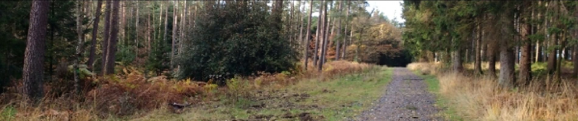
Photos

Positioning
Country:
Belgium
Region :
Wallonia
Department/Province :
Liège
Municipality :
Theux
Location:
Theux
Start:(Dec)
Start:(UTM)
700415 ; 5598899 (31U) N.
Comments
excellente marche