


2016-12-11 sortie tour Pocancy

Lucquiaud
User

Length
50 km

Max alt
163 m

Uphill gradient
423 m
Km-Effort
55 km

Min alt
50 m

Downhill gradient
423 m
Boucle
No
Creation date :
2018-09-15 15:04:41.457
Updated on :
2018-09-15 15:04:41.647
3h48
Difficulty : Easy

FREE GPS app for hiking
 SityTrail
IGN / Geographical institutes
SityTrail Plus
The world is yours!
About
Trail Mountain bike of 50 km to be discovered at Ile-de-France, Essonne, Bondoufle. This trail is proposed by Lucquiaud.
Description
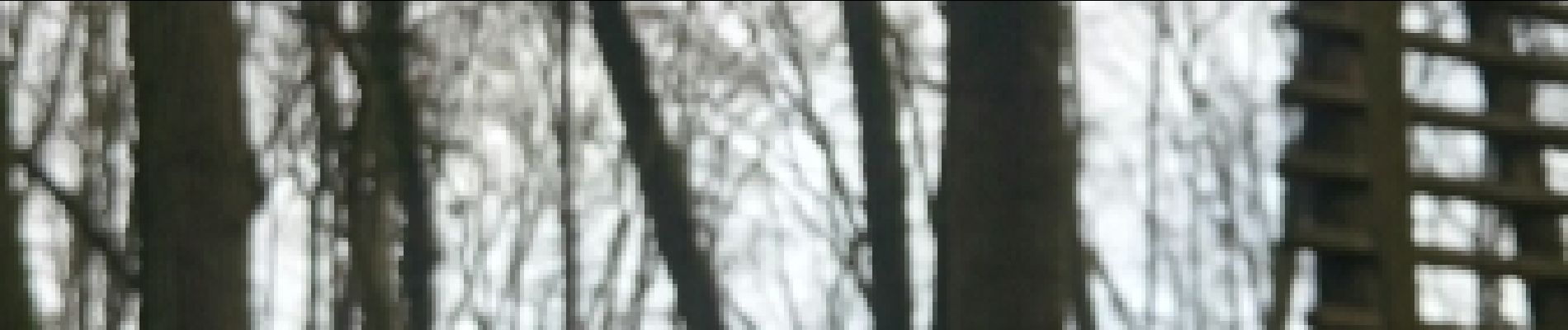
randonnée pour découvrir la Pierre Levée, la Tour de Pocancy, les chalets Ilex et les Rochers, le moulin de Goujon,le parc de la mairie de Lardy
bonne partie route à l'aller et au retour
Photos


Positioning
Country:
France
Region :
Ile-de-France
Department/Province :
Essonne
Municipality :
Bondoufle
Location:
Unknown
Start:(Dec)
Start:(UTM)
454077 ; 5384740 (31U) N.
Comments