


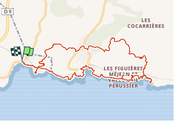
Port du Rouet - Petit Méjean

ARPF
User

Length
15 km

Max alt
146 m

Uphill gradient
449 m
Km-Effort
21 km

Min alt
1 m

Downhill gradient
450 m
Boucle
Yes
Creation date :
2016-12-11 00:00:00.0
Updated on :
2016-12-11 00:00:00.0
4h25
Difficulty : Medium

FREE GPS app for hiking
 SityTrail
IGN / Geographical institutes
SityTrail Plus
The world is yours!
About
Trail Walking of 15 km to be discovered at Provence-Alpes-Côte d'Azur, Bouches-du-Rhône, Carry-le-Rouet. This trail is proposed by ARPF.
Description
P2 T2 11/12/2016 Robert
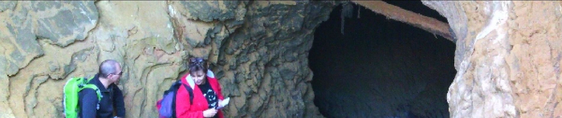
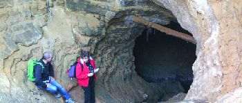
Photos


Positioning
Country:
France
Region :
Provence-Alpes-Côte d'Azur
Department/Province :
Bouches-du-Rhône
Municipality :
Carry-le-Rouet
Location:
Unknown
Start:(Dec)
Start:(UTM)
676308 ; 4800323 (31T) N.
Comments