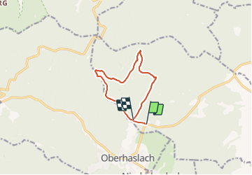
67 Oberhaslach tour du PFAFENLAPP

LUTZMarc
User

Length
8.9 km

Max alt
701 m

Uphill gradient
370 m
Km-Effort
13.7 km

Min alt
335 m

Downhill gradient
327 m
Boucle
No
Creation date :
2016-12-15 00:00:00.0
Updated on :
2016-12-15 00:00:00.0
2h00
Difficulty : Medium

FREE GPS app for hiking
 SityTrail
IGN / Geographical institutes
SityTrail Plus
The world is yours!
About
Trail Walking of 8.9 km to be discovered at Grand Est, Bas-Rhin, Still. This trail is proposed by LUTZMarc.
Description
Longue montée puis longue descente.
Positioning
Country:
France
Region :
Grand Est
Department/Province :
Bas-Rhin
Municipality :
Still
Location:
Unknown
Start:(Dec)
Start:(UTM)
377449 ; 5380044 (32U) N.
Comments