


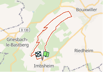


22 km | 29 km-effort


User


FREE GPS app for hiking
 SityTrail
IGN / Geographical institutes
SityTrail World
The world is yours!
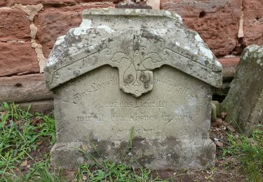
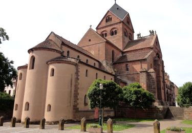
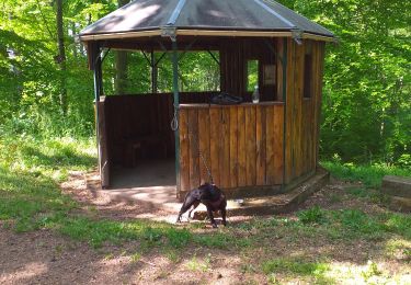
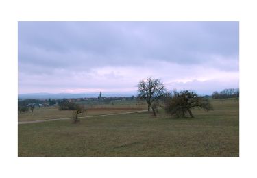
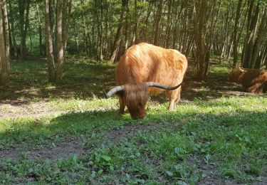
Trail Walking of 7.4 km to be discovered at Grand Est, Bas-Rhin, Bouxwiller. This trail is proposed by zazie.
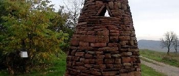
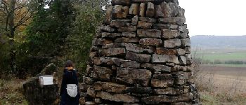
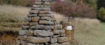
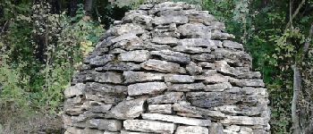
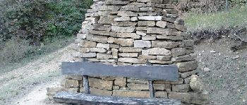
Marche au grès des Chorten


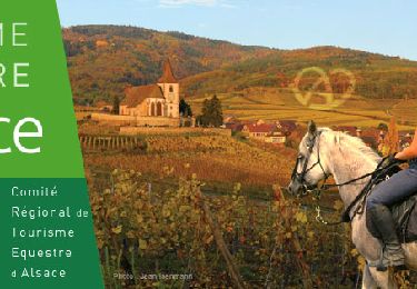
Horseback riding
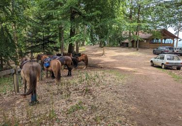
Horseback riding
On foot
On foot
On foot
Walking

Walking
On foot
Walking