


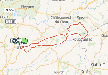
Circuit 60 km vers Roudoualec

Dennez
User

Length
61 km

Max alt
253 m

Uphill gradient
902 m
Km-Effort
73 km

Min alt
55 m

Downhill gradient
896 m
Boucle
Yes
Creation date :
2017-01-20 00:00:00.0
Updated on :
2017-01-20 00:00:00.0
4h09
Difficulty : Medium

FREE GPS app for hiking
 SityTrail
IGN / Geographical institutes
SityTrail Plus
The world is yours!
About
Trail Cycle of 61 km to be discovered at Brittany, Finistère, Briec. This trail is proposed by Dennez.
Description
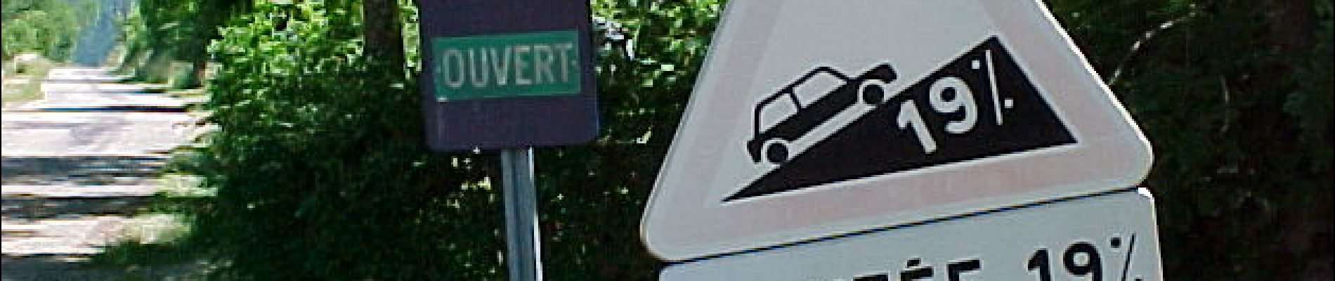
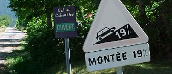
Briec / St Albain / le Niver / Trégourez / Roudoualec / Vers Spezet / St Goazec / Laz / Edern par St Jean / Briec
Photos


Positioning
Country:
France
Region :
Brittany
Department/Province :
Finistère
Municipality :
Briec
Location:
Unknown
Start:(Dec)
Start:(UTM)
425457 ; 5328012 (30U) N.
Comments