


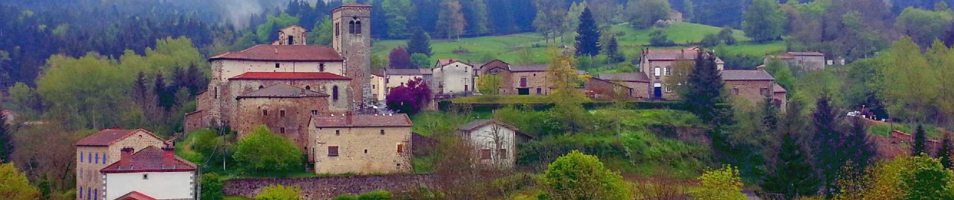
Auzelles_Croix_Pradier

jagarnier
User GUIDE
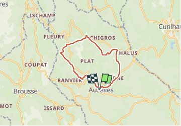


3h15
Difficulty : Medium

FREE GPS app for hiking
 SityTrail
IGN / Geographical institutes
SityTrail Plus
The world is yours!
About
Trail Walking of 10.7 km to be discovered at Auvergne-Rhône-Alpes, Puy-de-Dôme, Auzelles. This trail is proposed by jagarnier.
Description
Une randonnée qui vous permet de découvir l’église fortifiée de Saint-Blaise (ferrures du XVIII et fresques du XVème), l’église inachevée de Prulhière, un point de vue sur la vallée du Miodet et les anciennes mines de plomb de Chabanettes (montagne de sables blancs).
Photos

Positioning
Comments