


Puech de Cals

jpipacific
User
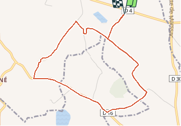

Length
5.3 km

Max alt
214 m

Uphill gradient
58 m
Km-Effort
6.1 km

Min alt
180 m

Downhill gradient
58 m
Boucle
Yes
Creation date :
2016-12-29 00:00:00.0
Updated on :
2016-12-29 00:00:00.0
1h18
Difficulty : Very easy

FREE GPS app for hiking
 SityTrail
IGN / Geographical institutes
SityTrail Plus
The world is yours!
About
Trail Walking of 5.3 km to be discovered at Occitania, Tarn, Cadalen. This trail is proposed by jpipacific.
Description
Jolie ballade. Belles vues sur la campagne environnante tout le long du parcours
Positioning
Country:
France
Region :
Occitania
Department/Province :
Tarn
Municipality :
Cadalen
Location:
Unknown
Start:(Dec)
Start:(UTM)
421955 ; 4855135 (31T) N.
Comments
le calme de la campagne tarnaise, rondeurs des terres, belles demeures, et forcément quelques animaux surpris qui égaient la promenade.